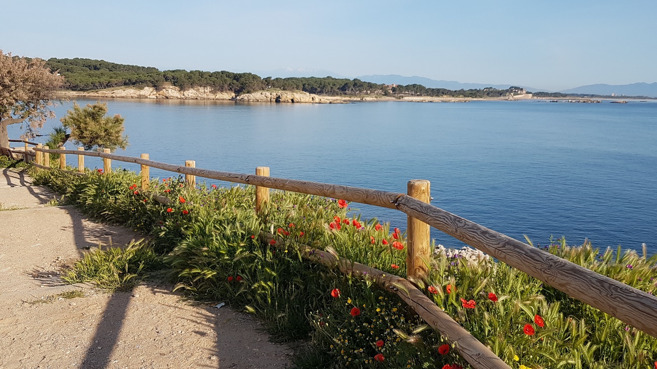
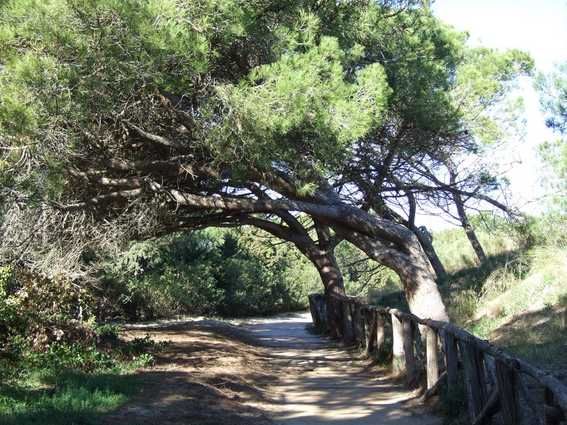
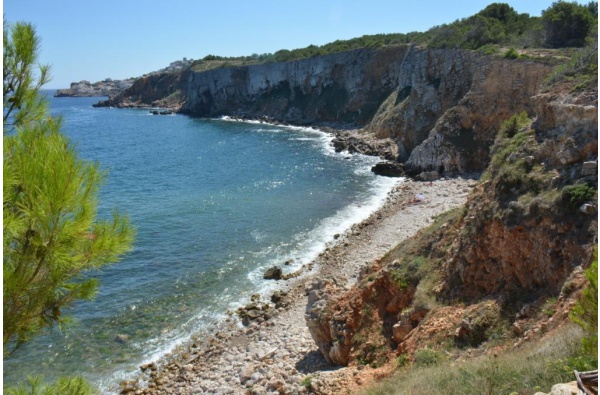
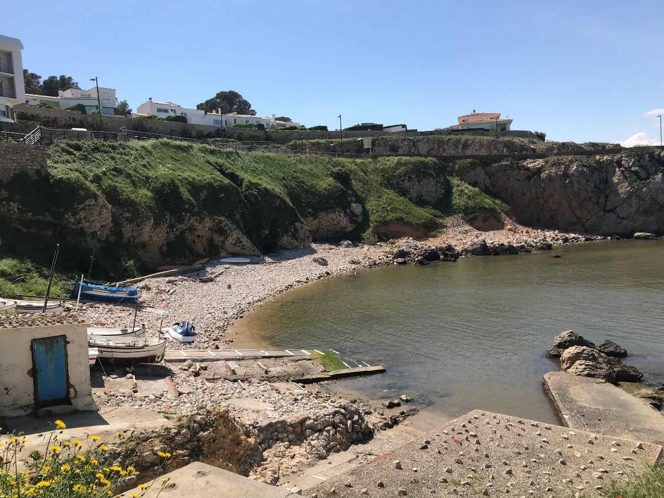
This route starts in Cala Montgó. Leaving the beach behind you, take Avinguda de Montgó. Turn first right into Carrer Trencabraços, which shares some stretches of the GR-92 National Trail. Once at the top, facing the islet Illa Mateua, turn left into Carrer Cambres, which becomes Carrer Punta Montgó, turn left and follow the coastline, you will see the GR-92 signs all the way. The path meanders along to Cinc Sous Point, Salpatx and a stretch of cliffs Les Penyes. This trail will lead you to Port de la Clota.
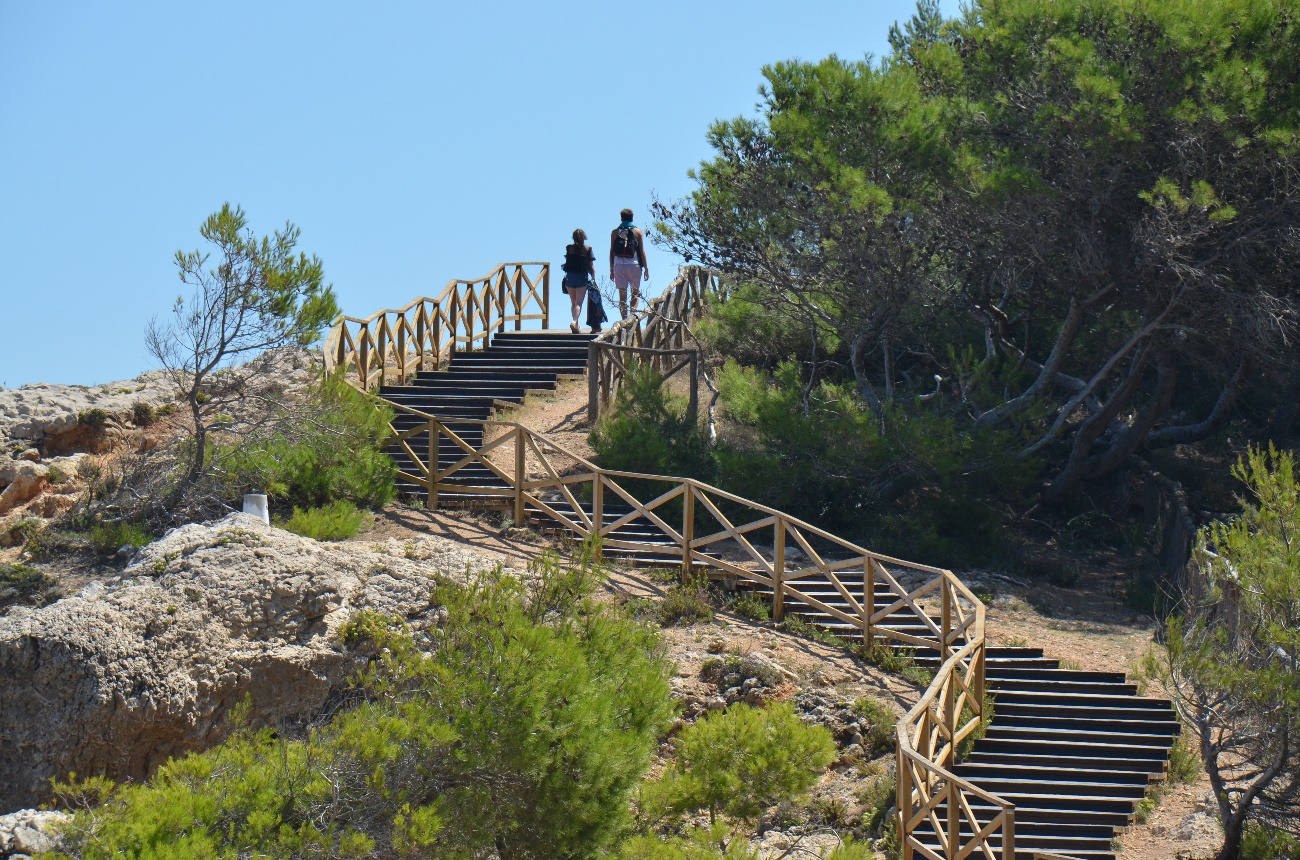
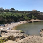
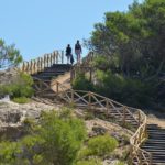
Next, cross the Port along street Romeu de Corbera, until you reach beach at Riells. Continue along the beach edged by the Little Prince promenade until you come to Passeig del Mar. Follow the coastline into to l’Escala old centre. Take Passeig Lluís Albert, down to Port d’en Perris and La Platja. Walk to the far end, beach on your right hand side, where you will find a set of stone steps by some rocks. Climb those steps up to Carrer Cargol and turn right and then left. After a short stretch, Carrer del Cargol becomes Ronda Mar d’en Manassa. Keep straight beside the sea until you reach Cala de La Creu, where some old fishermen’s huts will draw your attention. The trail becomes a bit of a climb to l’Oberta, via a set of ample wooden steps. When you reach the pavement at the top, please mind the cycle lane. Gaze over the water for an unequalled view of Empúries beaches whilst going down a gentle 200 mts slope along Ronda del Pedró till you reach the Lampadòfor, a monument to the Olympic flame. Take the right turn over the bridge for Passeig d’Empúries.
Passeig d’Empúries is over 2.5 kms long and runs parallel to Empúries beaches. Thus, it borders the beaches Rec del Molí, Portitxol, Muscleres and the Greek Dock up to Sant Martí d’Empúries. You have reached the end of this walk.
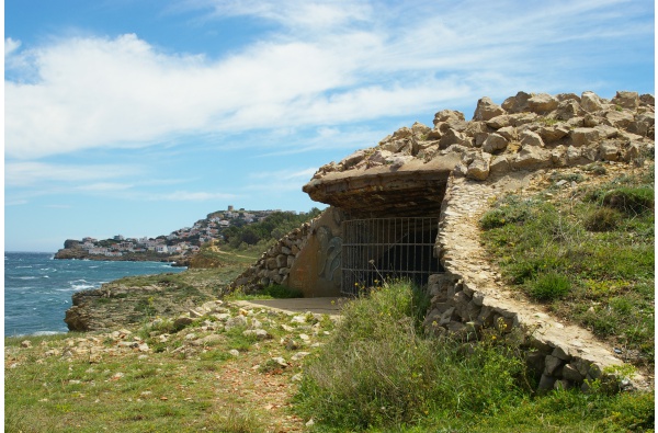
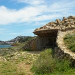
The section of the GR-92 which runs from Cala Montgó to Port de la Clota used to be reserved for military training, and we can still see a series of bunkers dotted around among the pine trees.
Detalls
- A Peu