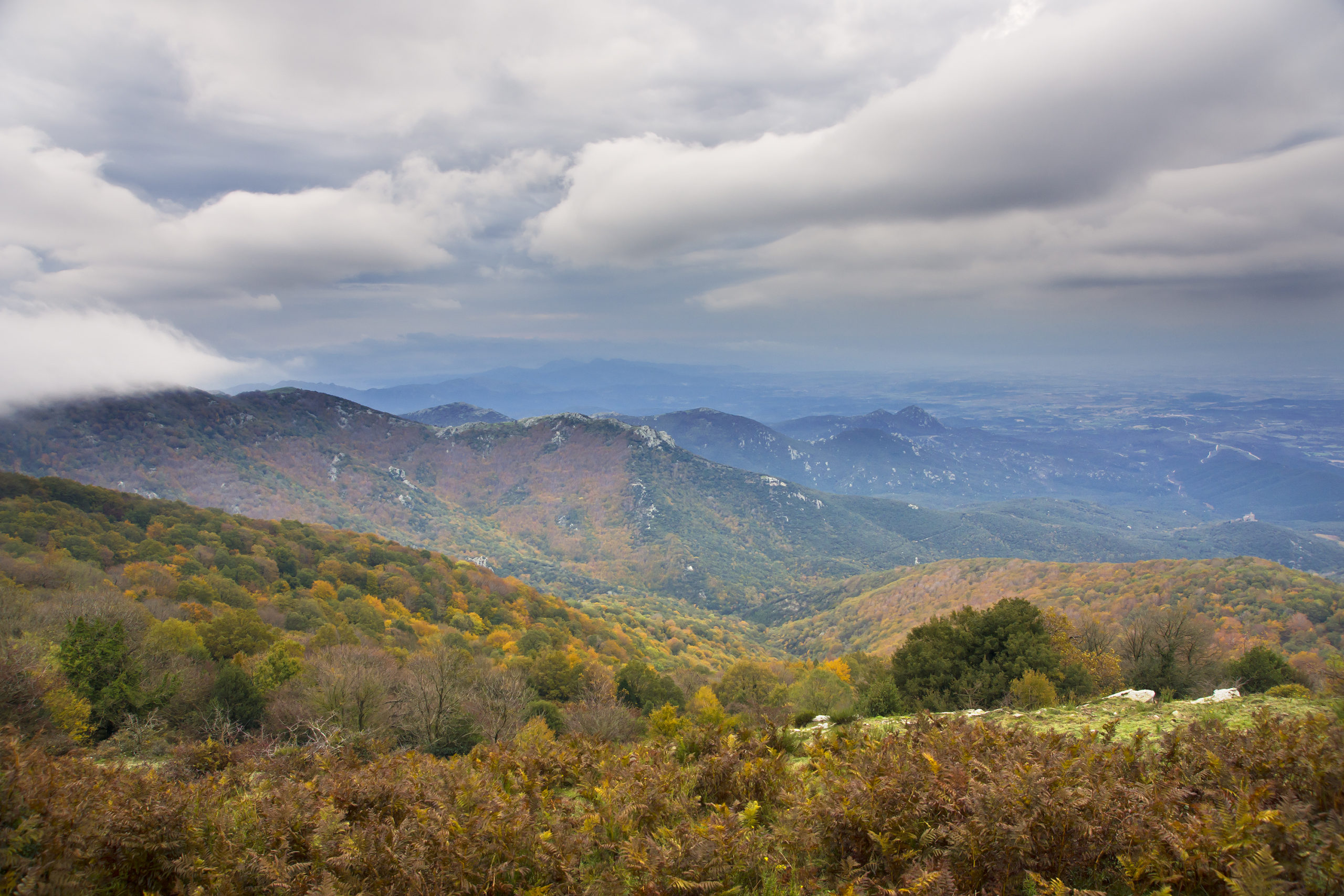
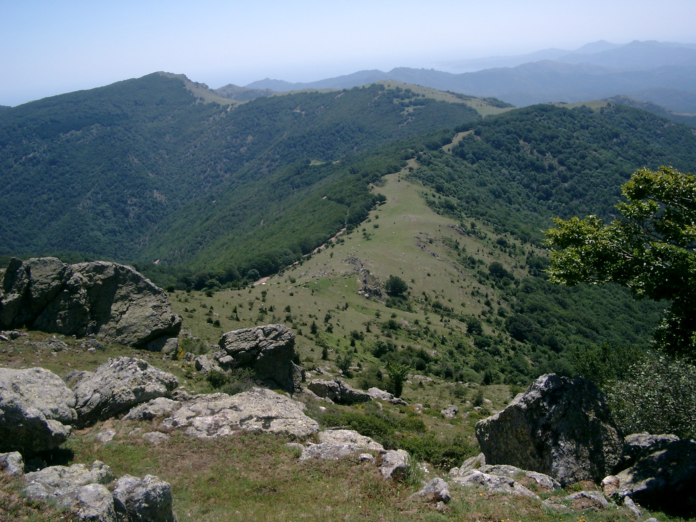
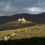
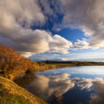
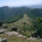
The Serra de l’Albera, or Albera range of mountains, is the name given to the easternmost section of the Pyrenees, from Le Perthus to the sea. It separates the vast plains of the Empordà and those of Roussillon, and since the signing of the Treaty of the Pyrenees in 1659, the crest of the range has formed part of the Franco-Spanish frontier.
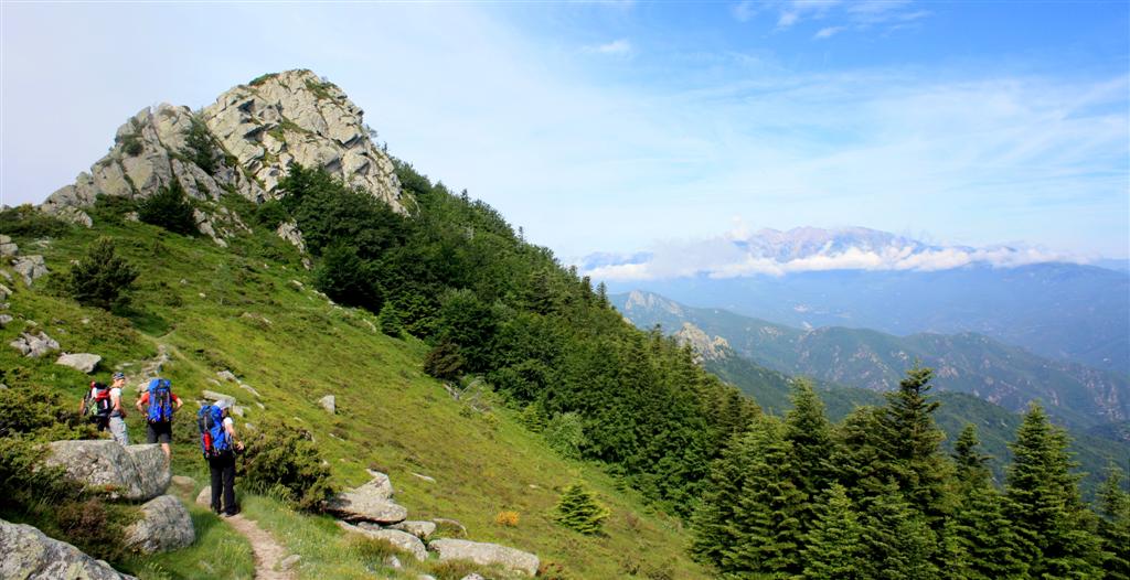
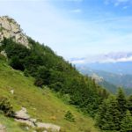
It is about 25 km long, and its principal peaks are Puig Neulós (1257 m), Puig dels Pastors (1167 m), Puig dels Quatre Termes (1156 m) and Pic de Sallafort (992 m).
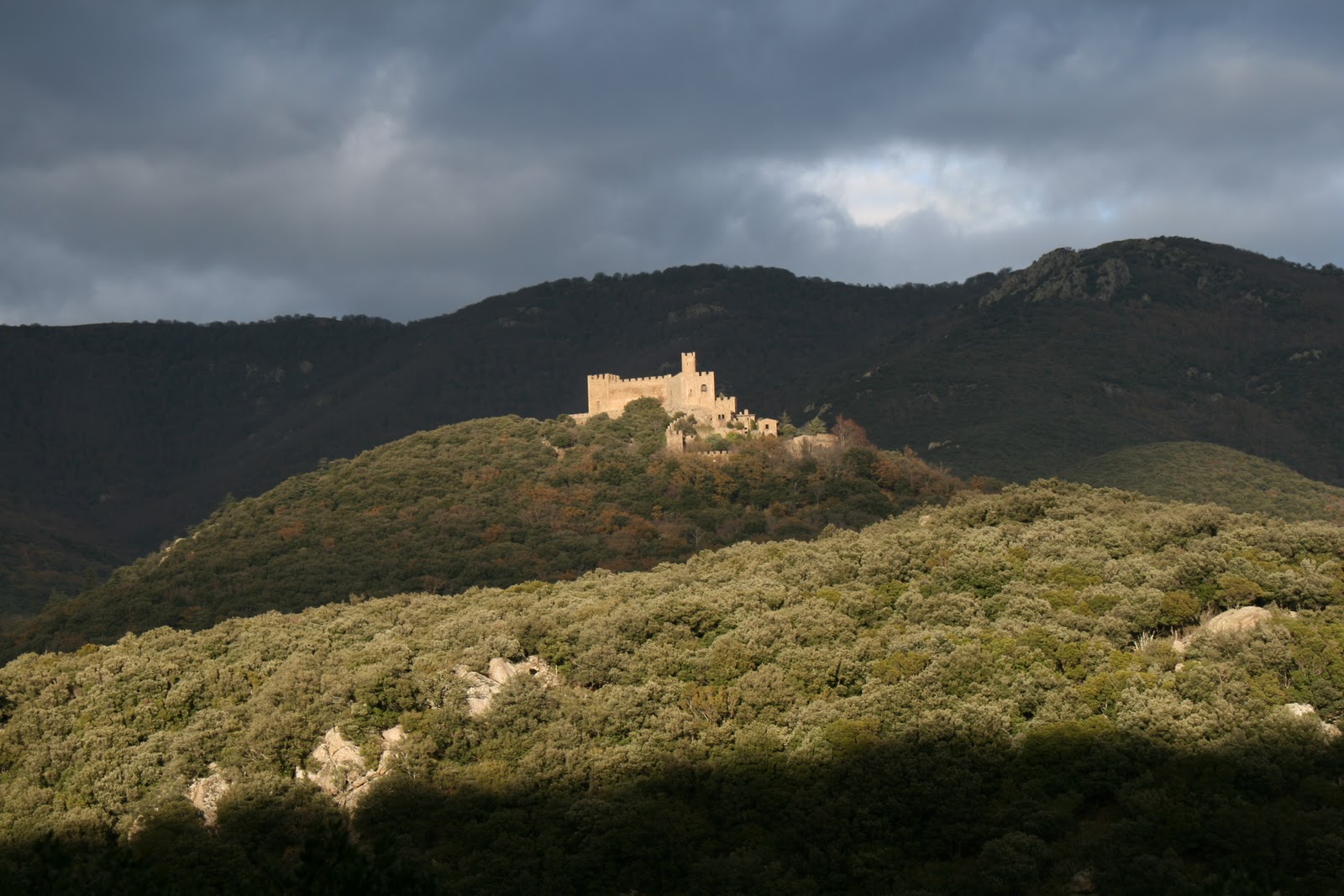
The Natural Zone of Declared National Interest of the Albera is situated in the north-east of the Empordà, and forms part of the municipal areas of La Jonquera, Espolla and Rabós.
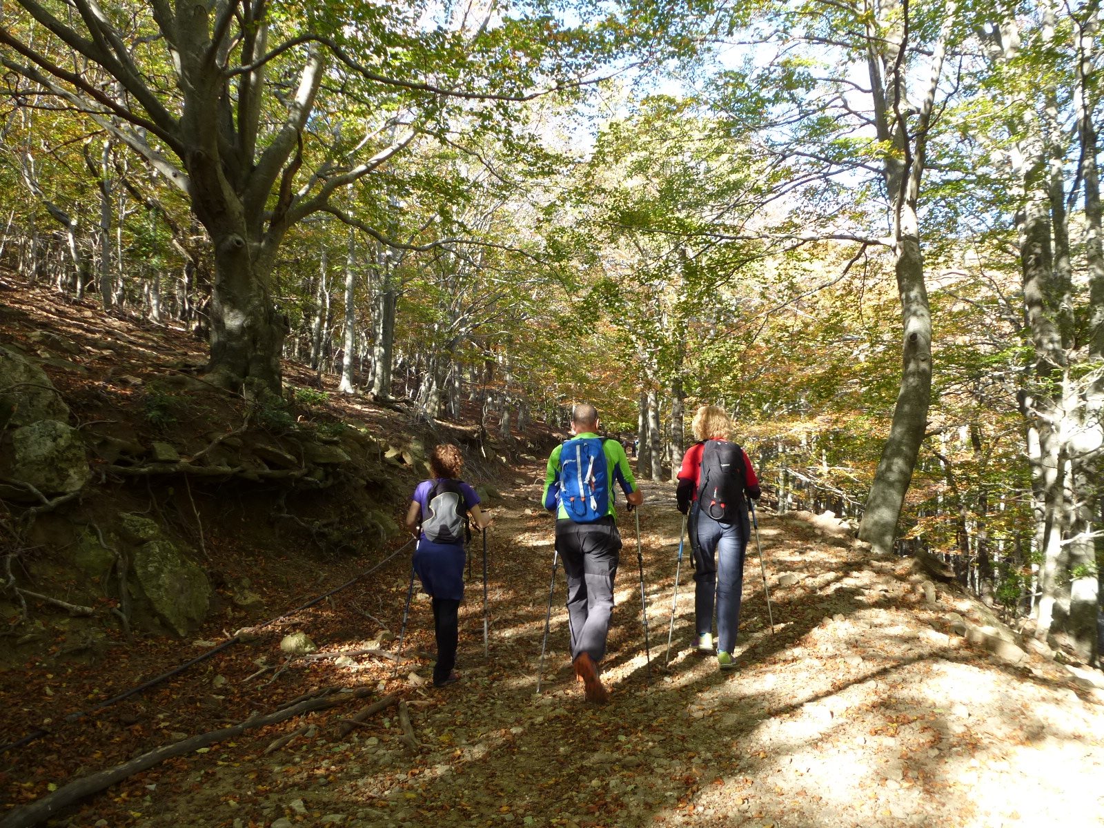
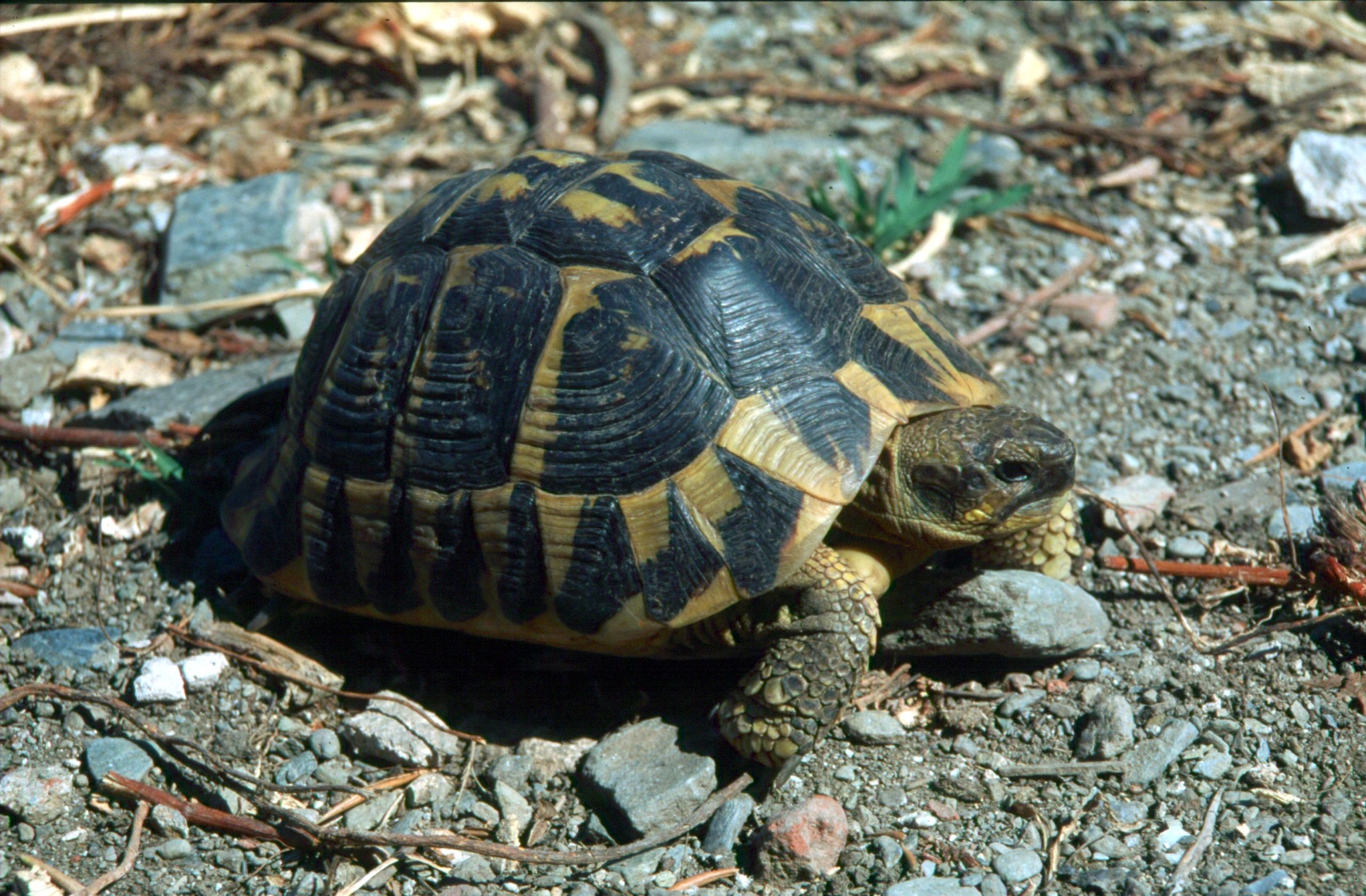
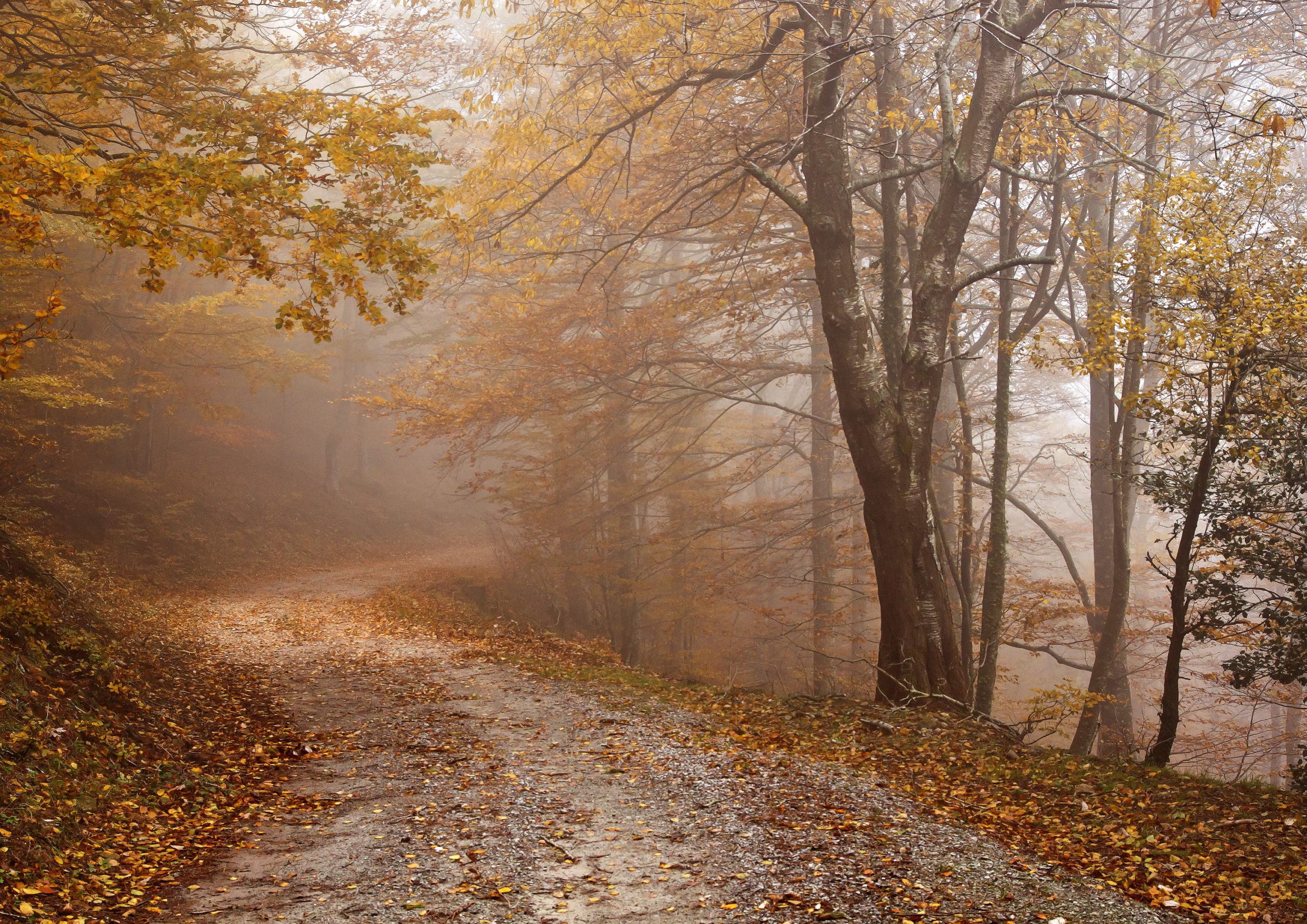
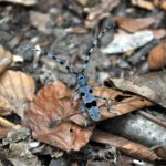
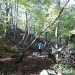
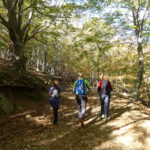
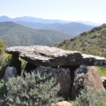
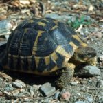
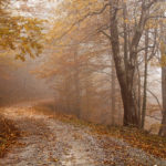
The Natural Zone is itself made up of two quite distinct areas. The Western area, the sector around Requesens and Bausitges, has vegetation of a mid-European type, with humid woods of beech and oak; whilst the Eastern area, the sector around Sant Quirze de Colera, is Mediterranean, with vegetation of cork-oaks and brush where the last colonies of Mediterranean tortoise still survive.
Que s'hi pot fer?
Normes de Comportament
– Aquesta zona té un alt risc d’incendi forestal. No es permet fer-hi foc sota cap concepte.
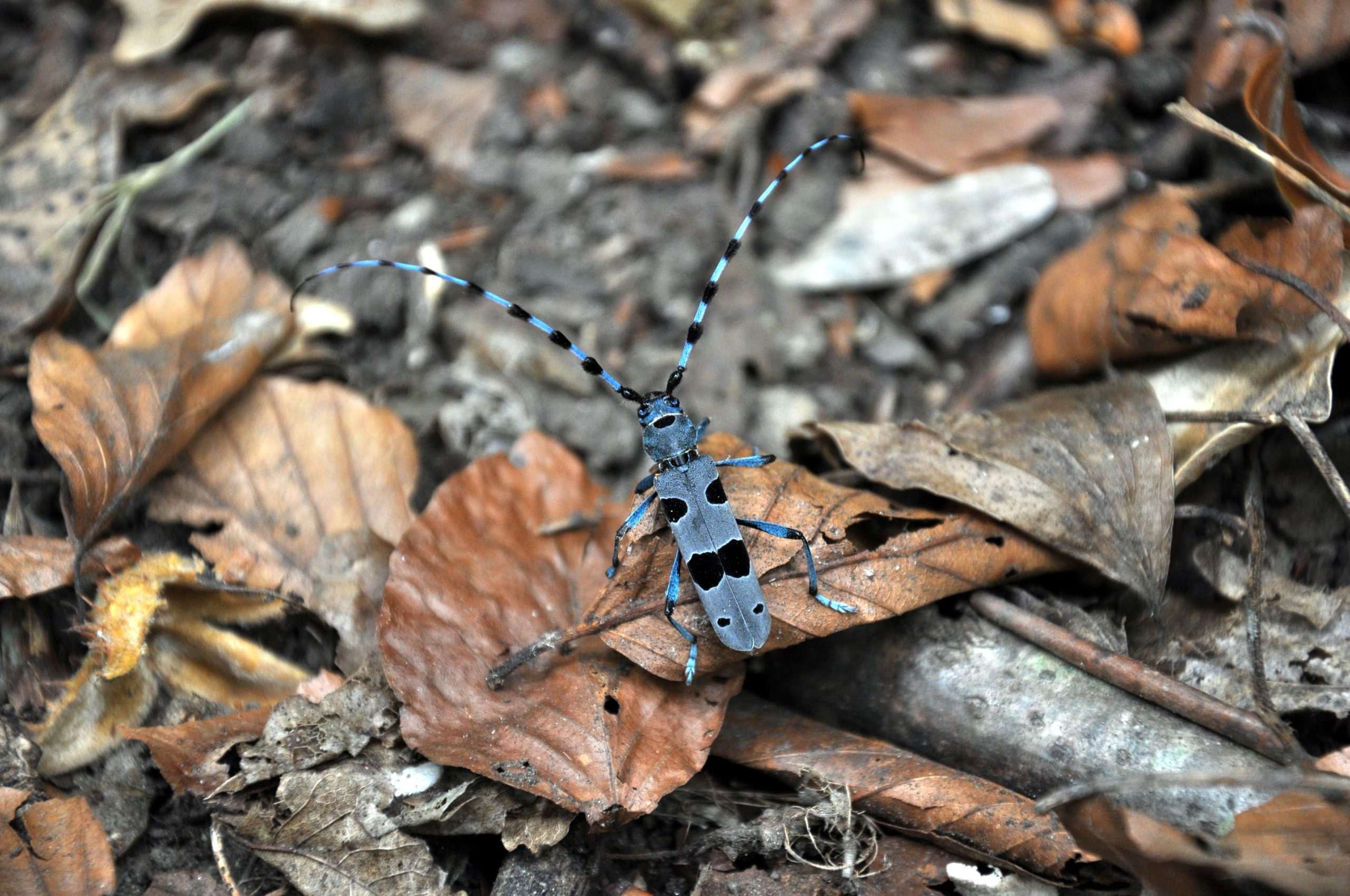
– Respecteu la flora i la fauna: no es permet d’arrencar o malmetre cap vegetal ni molestar als animals.
– Els vehicles només poden circular per les pistes senyalitzades. Eviteu els sorolls i excessos de velocitat.
– Es prohibeix llençar-hi deixalles; cal emportar-se-les i dipositar-les fora del paratge natural.
– Bona part dels terrenys del paratge són de propietat privada. Cal respectar els béns i edificis.