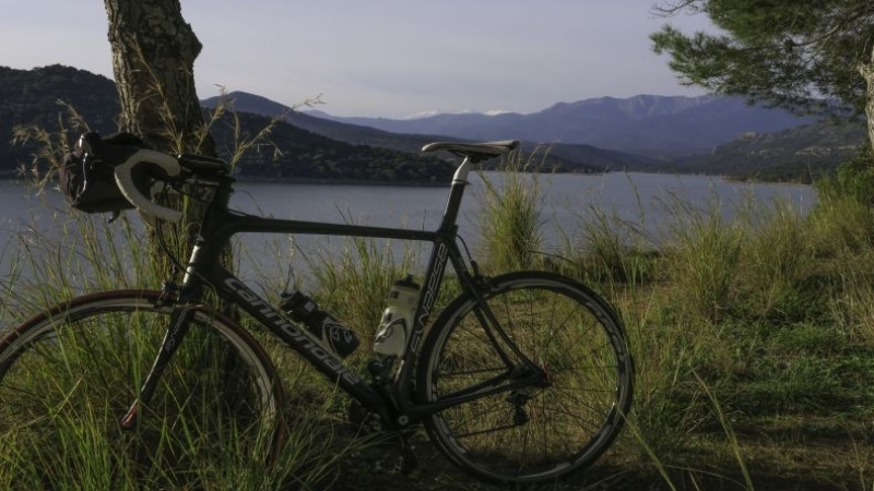
This route, which runs entirely through the interior, is sensational. It consists of a circular route of medium difficulty that crosses the Alt-Empordà plain, with its gentle hills of olive trees, vineyards and holm oaks. It is dotted with curious villages and hamlets, with an incursion into the Pyrenean foothills to the west of the region, specifically with a visit to the village of Maçanet de Cabrenys. Before this, however, you will need to have made the climb to La Vajol, which will reward you with wide panoramic vistas from the viewpoint located at the exit of the village (550 m).
Back in Roses, heading southeast, you pass by the dam of the Boadella reservoir and continue down towards the Empordà plain. Although the itinerary tries to avoid any traffic, you should be careful in certain sections, either because of the narrow width of the road, poor visibility due to the presence of slopes, or the slopes of the hills or mountains themselves.
The route allows you a choice of different options:
Option 1: when at La Vajol, ascend and descend the Coll de Manrella. If you choose this option, the route is 125 km and with a change in level of 1,500 m, approximately.
Option 2: in Maçanet de Cabrenys, there is the possibility of a wonderful route down to Vallespir in Northern Catalonia, by Costoja and returning to La Vajol by Les Illes and the Coll de Manrella (includes a short sector of unpaved track climbing over the Coll de Manrella on the northern slope). If you choose this option, the route is 200 km and with a change in level of 2,400 m, approximately.
Option 3: from Agullana you can shorten the route by heading south and, passing through Boadella d’Empordà or through Biure, to retake the original route. If you choose this option, the route is 96 km and has a change in level of 1,000 m approximately.
Detalls
- Bicicleta