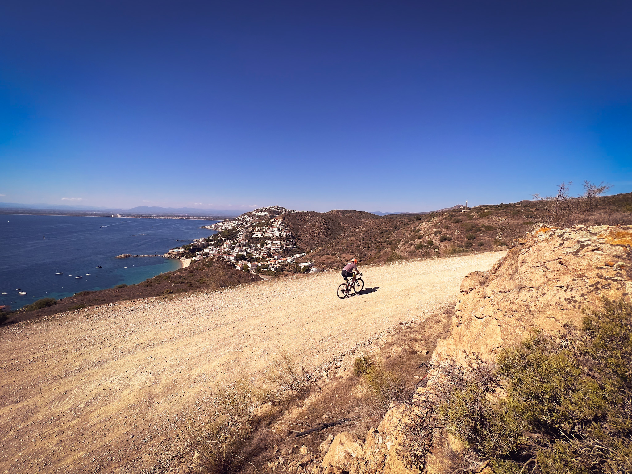

Gravel Route through Cap de Creus Natural Park
Type: Gravel
Direction: Clockwise
Distance: 69 km
Duration: approx. 4h 30’
Total ascent: 1490 m
Total descent: 1490 m
Difficulty: 3/3
This gravel route is physically demanding but technically easy. The itinerary combines coastal sections with challenging climbs across part of the Cap de Creus Natural Park, before ending with flat, well-maintained tracks through farmland, vineyards, and wetlands.
We start in Llançà, heading south towards Port de la Selva along a pleasant, mostly flat road. Before reaching the village, we turn towards la Selva de Mar, a charming spot where it’s worth wandering through its narrow streets and discovering photogenic, peaceful corners.
Here begins the day’s first big challenge: a 4.5 km climb along a track up to Pení. Be cautious, as you’ll need to join the Cadaqués road for about a kilometer and a half before continuing on an uphill track. From there, a spectacular descent opens up with views of the Bay of Roses and the plains of Alt Empordà. The route then briefly follows a road before reaching Punta Falconera, an ideal spot for photos with the sea as a backdrop.
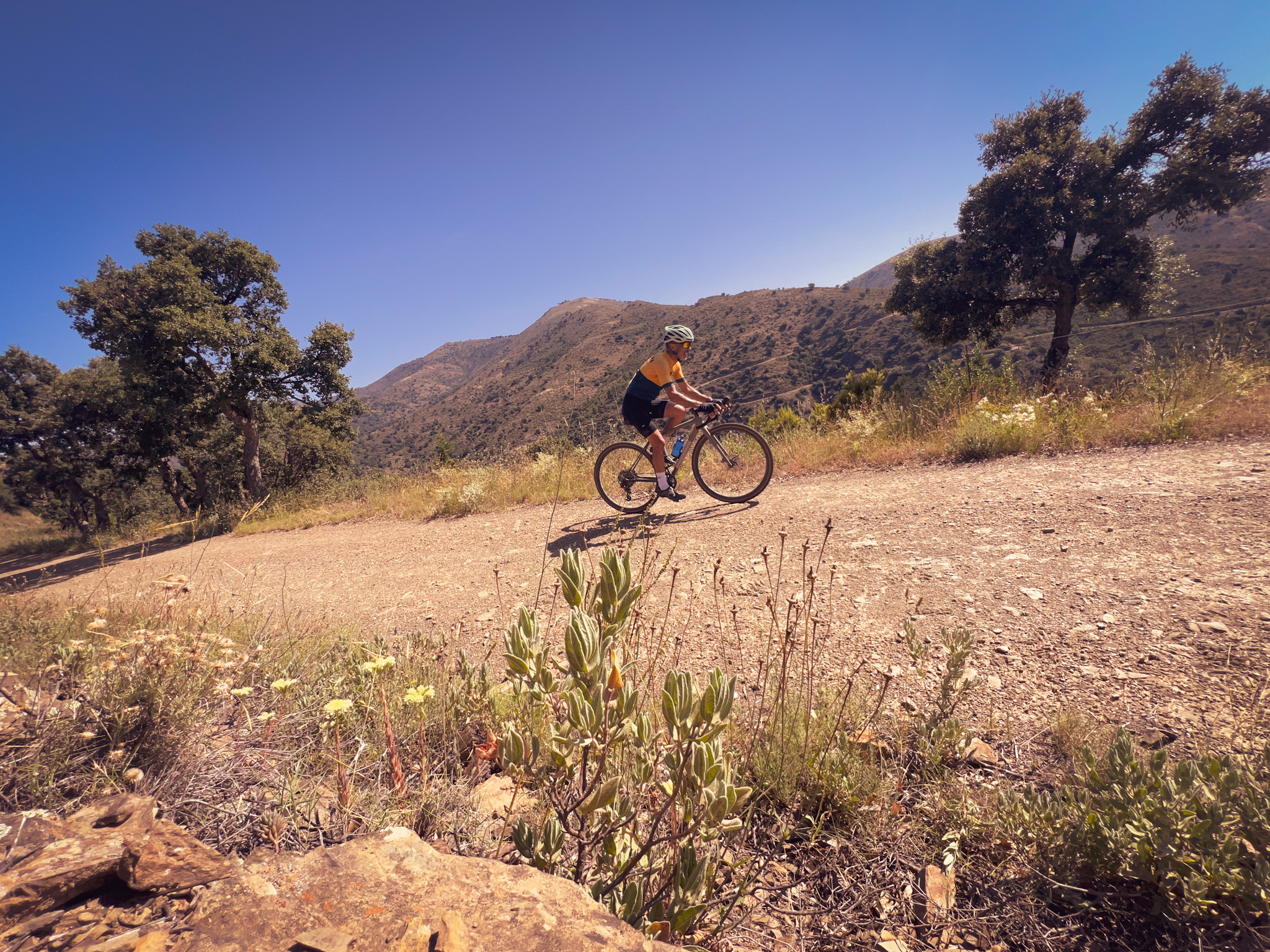
Next, we pass through the town of Roses, where you’ll find all kinds of services, before continuing on flat tracks towards Vilajuïga. From here, the route becomes demanding once more: the vineyards give way to holm oaks and old bunkers, always accompanied by stunning views.
Finally, the last section takes us through the remote Valleta Valley, following the GR trail back to Llançà.


Detalls
- Bicicleta