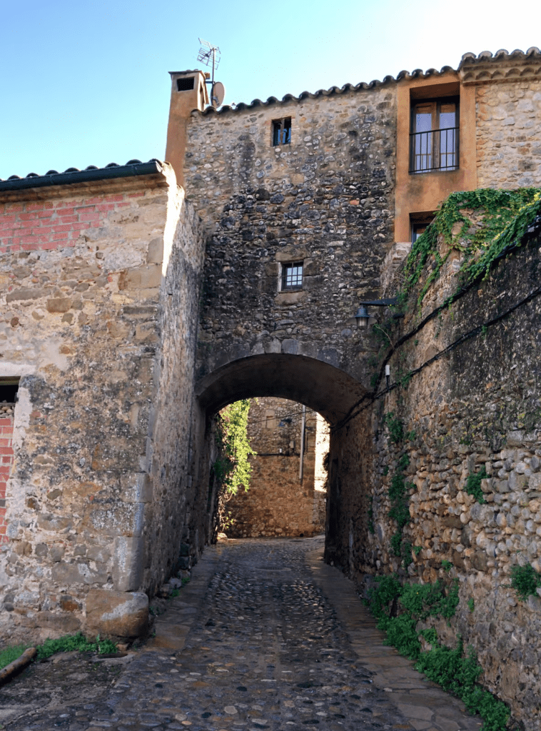
Hiking is a fantastic way to explore the beauty of the Empordà, and there are several amazing hiking routes in this region that are worth exploring. Whether you are an experienced hiker or a beginner, there is a hiking trail that will suit your needs. In this blog post, we will discuss some of the best hiking routes in the Empordà.
Some of the routes described below are taken from the Itinerannia website, specialized in this sector.
Section 1: Routes on the Costa Brava
The Costa Brava is one of the most touristic areas of Catalonia, thanks to its impressive beaches and coves with crystalline waters that run through the Empordà. But it is also an ideal place for hiking lovers, as it offers impressive routes with panoramic views of cliffs and beaches.
Cycling Route between Figueres and Roses: enjoy the beauty of the Manol River
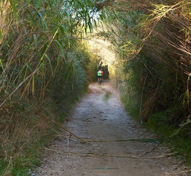
The route has two variants for the section between Figueres and Vilanova de la Muga, one through Vilatenim and the other through Palol. If you decide to take the option for Vilanova de la Muga, you will be able to enjoy stretches of small paved roads with little traffic, and stretches of dirt compacted with gravel for agricultural use.
In the municipality of Vilanova de la Muga, you can find a shady rest area at the entrance (km 7.4), with a drinking water fountain and a beautiful viewpoint of the river. In addition, after visiting the church of Santa Eulàlia, Romanesque in style from the 12th and 13th centuries, you can continue the route along a dirt track, systematically following the indicator posts. The next inhabited village is El Estanyol, the route continues towards Vilaüt, Torrelles and Roses.
On the other hand, if you decide to take the option for Palol, you will be able to enjoy the beauty of the Manol river from the beginning in the municipality of Figueres, following the route that runs through the part of the Aiguamolls de l’Empordà Natural Park.
In the municipality of Roses, the route begins after passing Les Torroelles and taking the old royal road from Roses to Peralada, passing through Calle del Escorial, Calle Avet and Calle Pica d’Estats, until reaching Calle Canigó and the Avenida de Rhode, where the route ends in front of the Citadel of Roses. It is important to mention that the entire layout coincides with the GR92.
Punta Falconera Route
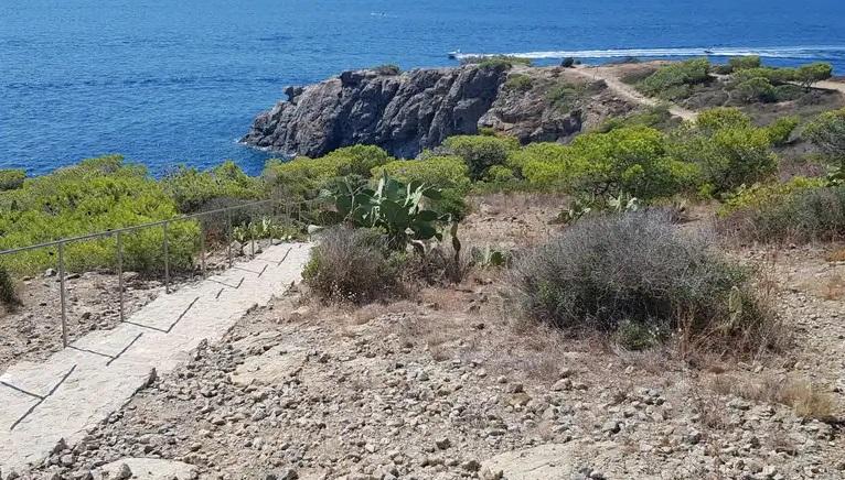
Coves and coastal paths: From Cala Jòncols to Cala Calitjàs
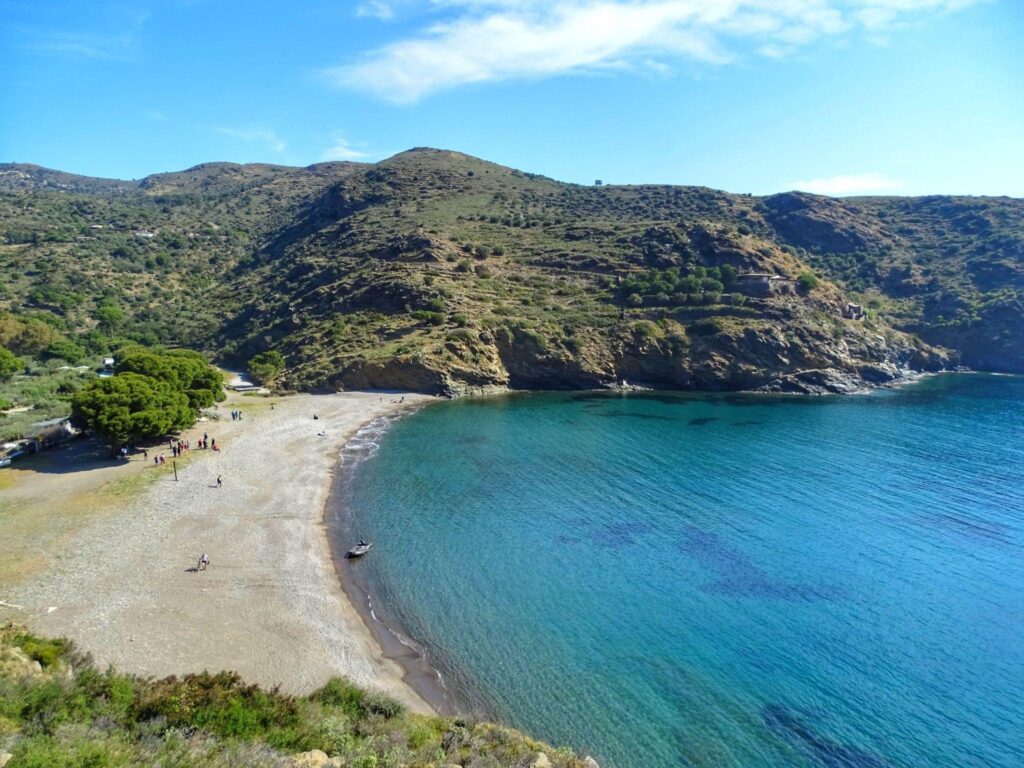
Until we reach Cala Jóncols, we continue along this route. Then we move along the beach to the right. We must follow the path that goes up the mountainside after finding the AE253 junction on the beach, which points in the direction of Cala Calitjàs.
The path becomes flat and switchbacks once you get to the top until you reach the track. Currently there is a path that leads to Cala Canadell if you want to get there. The path continues in the direction of the Torre de Norfeu, climbing to the top of the tower before descending on its opposite side. The route now runs along the coast until we reach Cala Pelosa, which we cross and continue walking until we reach Cala Calitjàs.
Here you can see the sign AE254, which indicates the end of the route. We follow the same path back.
Section 2: Routes in the interior of the Empordà
If you prefer quieter routes surrounded by nature, the interior of the Empordà is your best option. In this area, you can enjoy routes that will take you through forests and cultivated fields, discovering the native fauna and flora of the area.
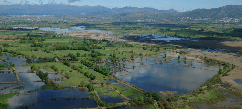
Route of the Aiguamolls de l’Empordà
Capmany Megalithic Route
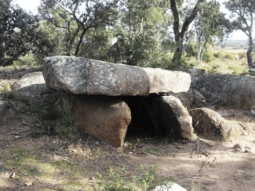
They will point us to the stone wall once we reach Jonquera street. We will see a new banner after seeing the stone wall. We turn left to start the megalithic route because the path now follows the previous La Jonquera route.
We will continue until we find a new sign that points us in the direction of the cabin and the granite stone. We will be able to travel to these places and then return to the indicator. Then we will continue in the direction of the Coll de la Mata spring. In the vicinity of the Monera vineyard when we get there, we will find another indicator. As soon as we have visited the fountain, we will turn around and head back towards Mas Mart, where we will find the Sacrifici stone and the Capità fountain. After visiting these places, we will continue along the main path until we come across the megalithic structures: the Vidal menhir and the Comanera I stone, followed shortly after by the Comanera II stone.
Towards the Mirgoler dolmen, we will continue. There are no yellow markings in this area, but it is still easily accessible.
After leaving the cabin, we will continue towards the Mirgoler dolmen. After passing this dolmen, we will enter the Serrat Alegre region, where we will cross paths with the primary path system that leads to La Jonquera.
Next we will visit the dolmen and menhir of Querafumat II as well as the Mas Oliva fountain. Then we will visit the Verneda dolmen and the fountain. To get to the tilting rock, we will turn back and continue on the Cantallops trail. When we get to Alt Street, we’ll turn around and head back to the center of Capmany. Continuing along calle Santa Llucia until we reach the car park on calle Sant Climent, we will turn left and find the crossroads with the AE179 again.
Albera route
<center<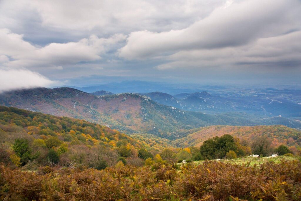
The Albera is a mountain range that is located in the north of the Empordà. The Albera Route is one of the most spectacular in the region, as it will allow you to enjoy impressive views of the Pyrenees and the rural landscapes of the area. During the route, you will be able to visit some charming towns, such as Peralada or Vilamaniscle.
Section 3: Routes for families and beginners
If you want to enjoy hiking with your children or if you are a beginner in this sport, there are routes in the Empordà that are perfect for you. These routes are shorter and easier, but no less spectacular for that.
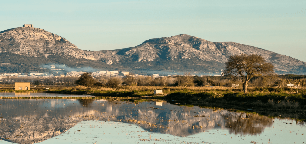
Parc Montgrí (between alt and baix emporda)
Saus Camallera circular route
<center<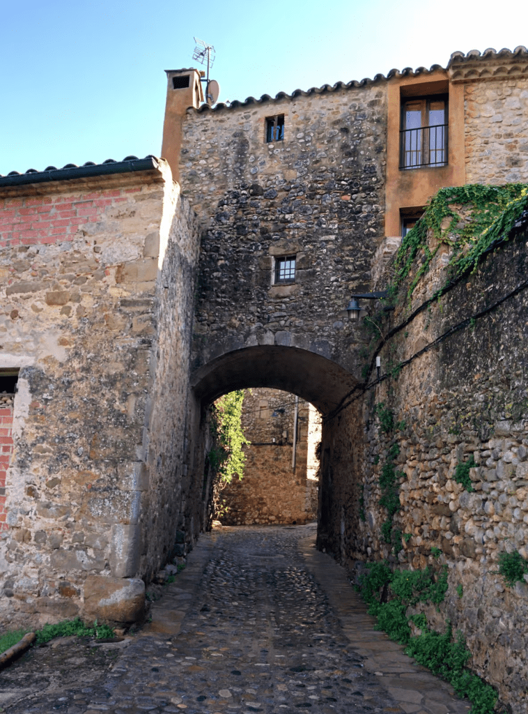
Starting from Saus, we continue along Carrer de Baix until we cross it with Carrer Oest, where we turn around. From there, we continue straight to the track. Then we turn left and cross diagonally to the right, staying on the track to our left and avoiding the detours. We finally arrive at the GI-623 road after following the “Font Gabellada” route for a few minutes. Next, we cross the street and turn onto Avenue de Saus. Once we arrive at the train station, the avenue changes to Calle Estació as we go along. Then we cross the street and return to Saus along the old road from Banyoles to L’Escala. After crossing the GI-623, we finally arrive at Saus through Carrer de les Eres.
The Empordà is a privileged place for lovers of hiking. The wide variety of hiking and cycling routes that the region offers will allow you to discover some of the most beautiful landscapes in Catalonia and enjoy nature in its purest form. We hope this article has helped you to plan your next hiking routes in the Empordà.
FAQs
Are the Empordà hiking routes suitable for beginners?
Yes, there are hiking trails suitable for all levels.
What is the best time to go hiking in the Empordà?
Spring and autumn are the best times to go hiking in the Empordà, since the temperatures are mild and the landscapes are at their best.
Do I need a guide to do the Empordà hiking trails?
A guide is not necessary to do some of the Empordà hiking routes, but it is recommended as they will be able to help you, recommend and organize all kinds of routes and complementary activities. We encourage you to see and hire some of the companies specialized in routes, visits and activities in the Empordà here.
Are the Empordà hiking routes suitable for going with children?
Yes, there are suitable routes to go with children, but it is recommended that you choose routes of low or medium difficulty.
Can I do these hiking trails alone?
Yes, you can do the Empordà hiking routes alone, but it is important that you take into account the weather conditions and that you bring the appropriate equipment.
